
5710, BDB 86/1/1644 Sankey Family Photographic Archive © Cumbria Archives
no.5710
Wastwater
1910s
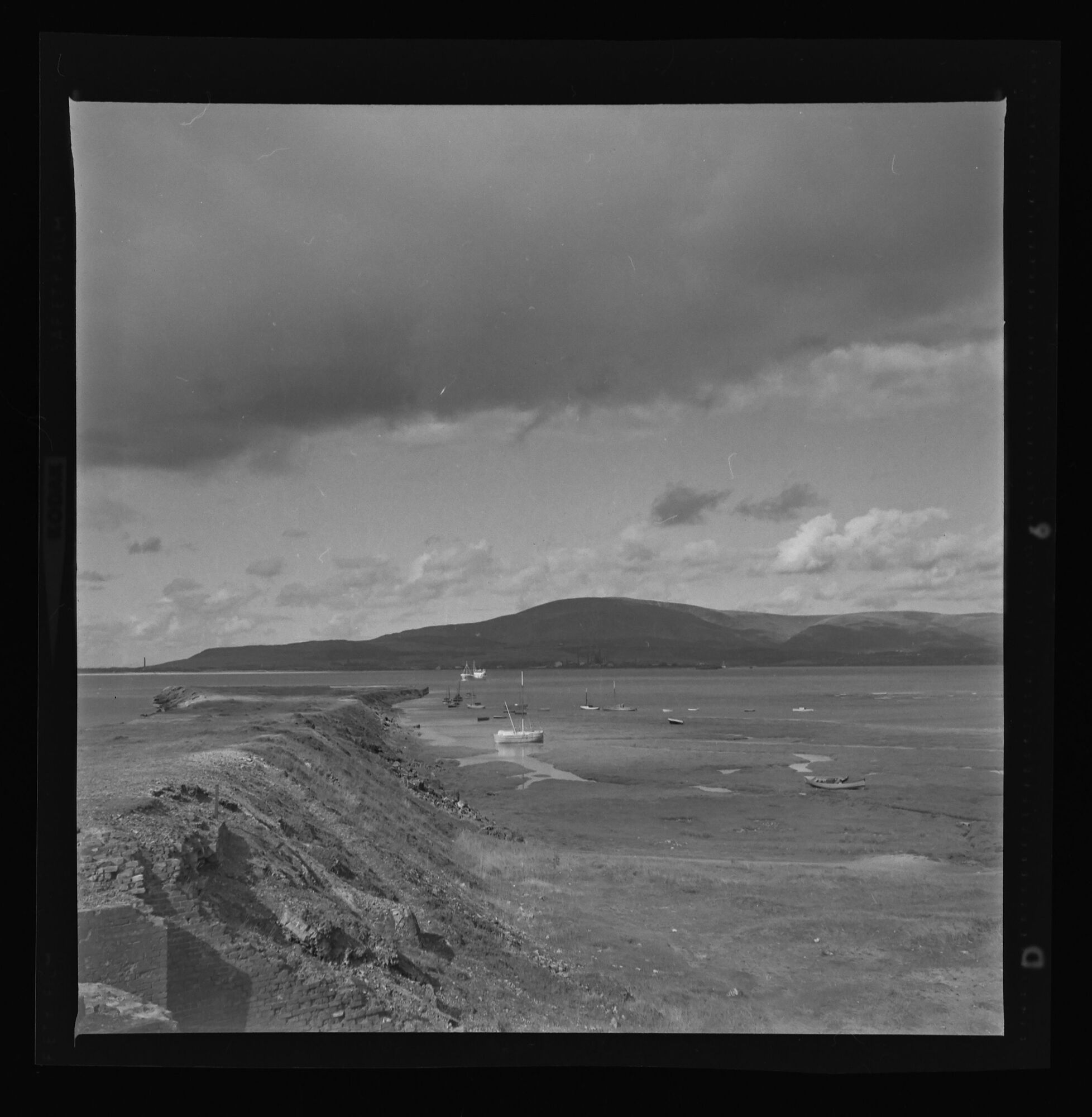
View from the southern end of Wastwater where it becomes the River Irt. Wastwater Screes to the right and Yewbarrow, Kirkfell and Great Gable seen mistily at the head of the Lake. Three rowing boats at the edge of the shingle beach. The lake is almost 3 miles (4.8 km) long and more than one-third mile (500 m) wide. It is a glacial lake, formed in a glacially 'over-deepened' valley. It is the deepest lake in England at 258 feet (79 m). The surface of the lake is about 200 feet (60 m) above sea level, while its bottom is over 50 feet (15 m) below sea level. It is owned by the National Trust.
5710, BDB 86/1/1644 Sankey Family Photographic Archive © Cumbria Archives
no.5710
Wastwater
1910s
View from the southern end of Wastwater where it becomes the River Irt. Wastwater Screes to the right and Yewbarrow, Kirkfell and Great Gable seen mistily at the head of the Lake. Three rowing boats at the edge of the shingle beach. The lake is almost 3 miles (4.8 km) long and more than one-third mile (500 m) wide. It is a glacial lake, formed in a glacially 'over-deepened' valley. It is the deepest lake in England at 258 feet (79 m). The surface of the lake is about 200 feet (60 m) above sea level, while its bottom is over 50 feet (15 m) below sea level. It is owned by the National Trust.
| Location: | Wasdale | Cumbria Archives Reference: | BDB 86/1/1644 |
|---|---|---|---|
| Sankey Number: | 5710 |
Related Items

E400
510
