6211, BDB 86/1/1847 Sankey Family Photographic Archive © Cumbria Archives
no.6211
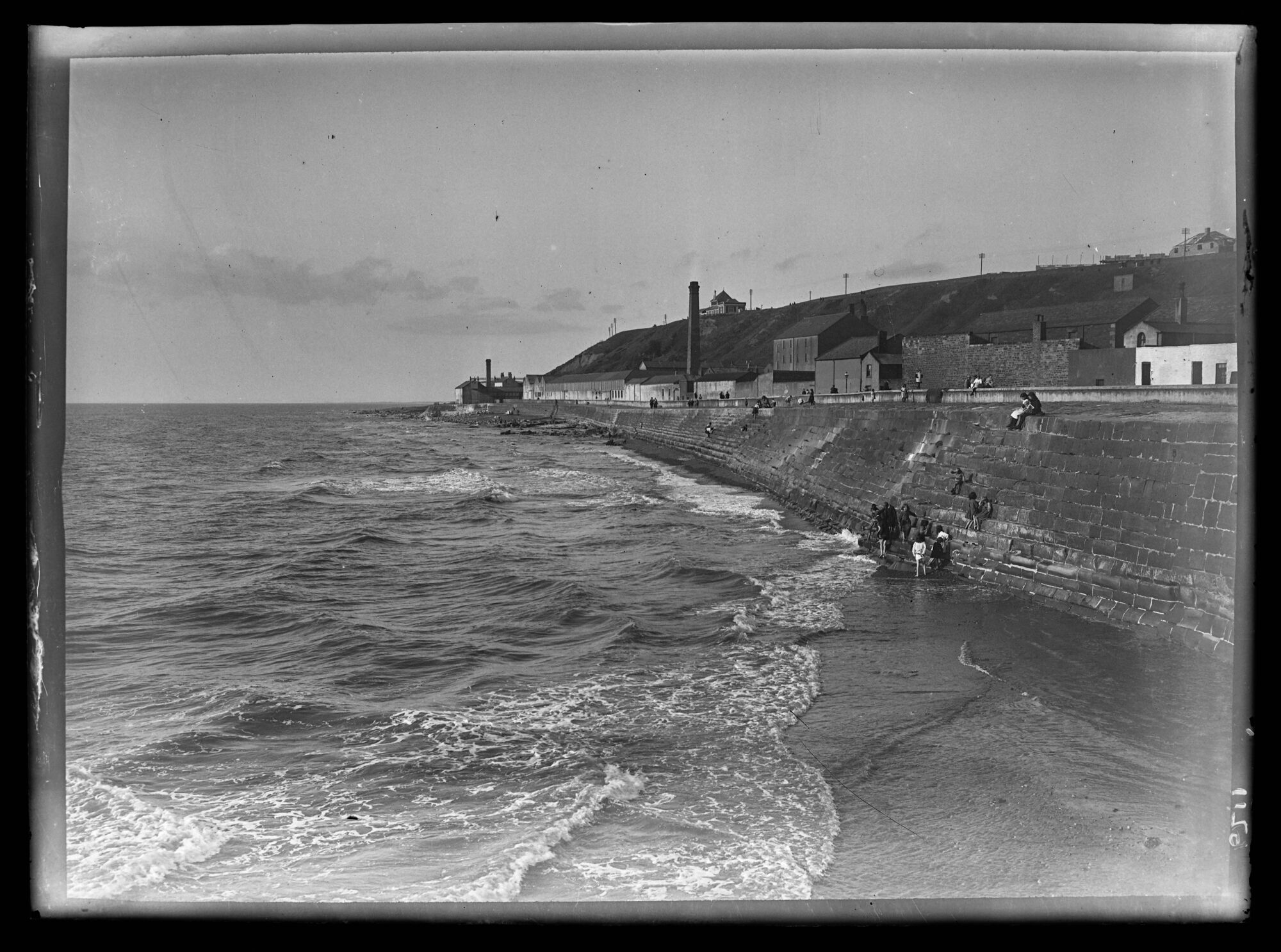
Sea Wall
1920s
View north along Nelson Street to the industrial zone below the cliffs. The Flour Mill is the tallest building and beyond the chimney is the long, low roof of the tannery. The Gas Works are at the far end. The Battery is visible at the top of the cliff. People are walking along the seawall. Children are climbing down and paddling.
| Location: | Maryport | Cumbria Archives Reference: | BDB 86/1/1847 |
|---|---|---|---|
| Sankey Number: | 6211 |
More Items
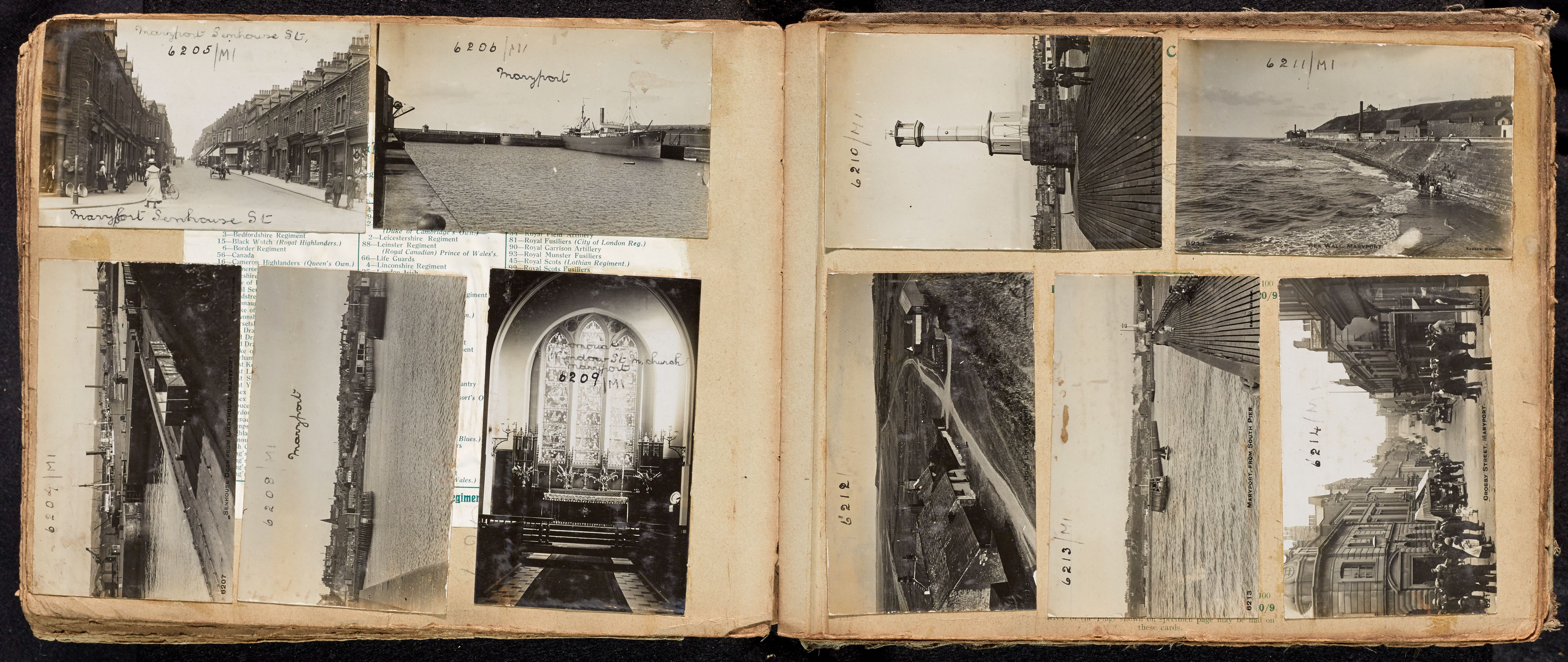
Unidentified Album 6090-6284 Sankey Family Photographic Archive © Cumbria Archives

Album Number: Unidentified Album 6090-6284
Page Number: 13
All Images on This Page
| Sankey Number | Image Title | Location Image Taken | Description |
|---|---|---|---|
| 6205 | Maryport Senhouse Street | Looking up street of shops, people, bike, cart. | |
| 6206 | Maryport | Maryport harbour with steamer JUNIO | |
| 6207 | Senhouse Dock from Lighthouse, Maryport | Steamship in dock, railway wagons (LNWR and CE) and cranes | |
| 6208 | Maryport | Looking into town from north pier wall | |
| 6209 | Memorial Window St Mary's Church Maryport | 3 panel window | |
| 6210 | The Lighthouse, Maryport | Slender tower , town in background | |
| 6211 | Sea Wall, Maryport | Children on beach below wall looking north | |
| 6212 | Golf Links, Maryport | Looking north, farm buildings left | |
| 6213 | Maryport from South Pier | Looking into town sailing dinghy in entrance to dock | |
| 6214 | Crosby Street, Maryport | People on shopping street, 3 cars 1 lorry and carts |


