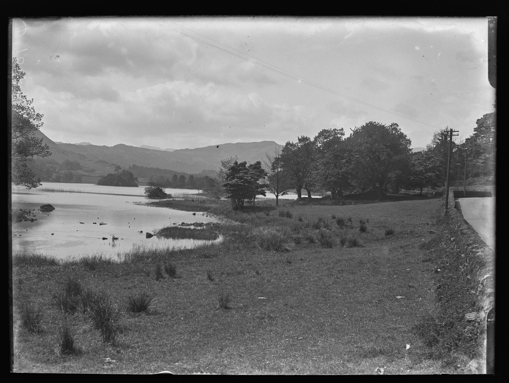
D784, BDB 86/1/3962 Sankey Family Photographic Archive © Cumbria Archives
no.D784
Rydal Water
Early 20th Century
Looking West along the north shore of Rydal Water. The main road (Now the A591) is to the right bounded by a stone wall. A grassy foreshore leads down to reeds at the water’s edge. Further along the shore is a tree covered promontory, Little Isle and Heron Island can be seen beyond the promontory with wooded slopes and fells receding into the distance beyond.
| Location: | Rydal, Rydal Water | Cumbria Archives Reference: | BDB 86/1/3962 |
|---|---|---|---|
| Sankey Number: | D784 |
Related Items
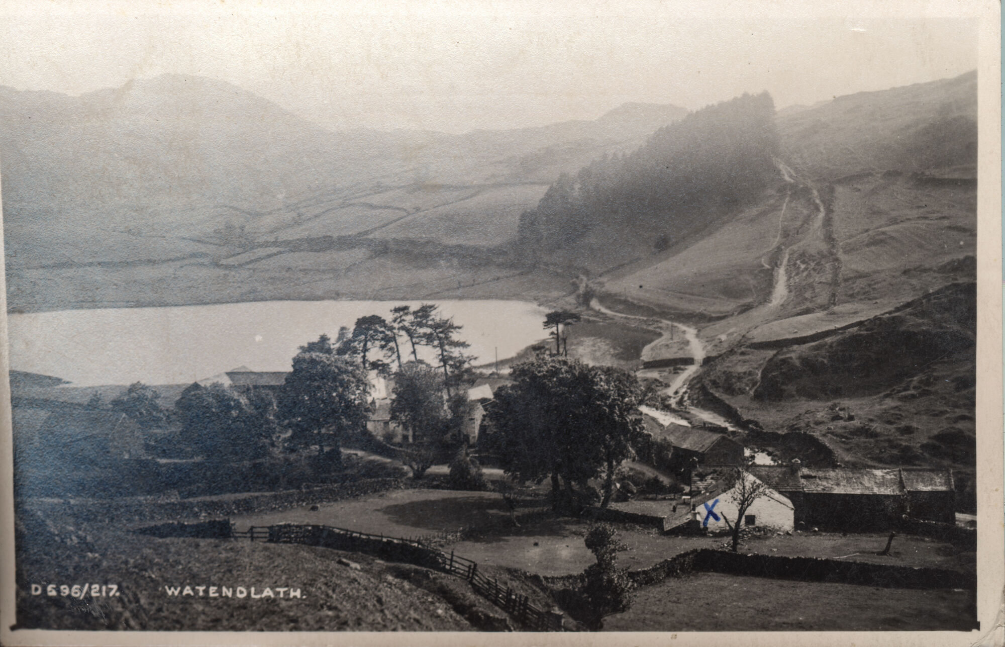
D696
E215A