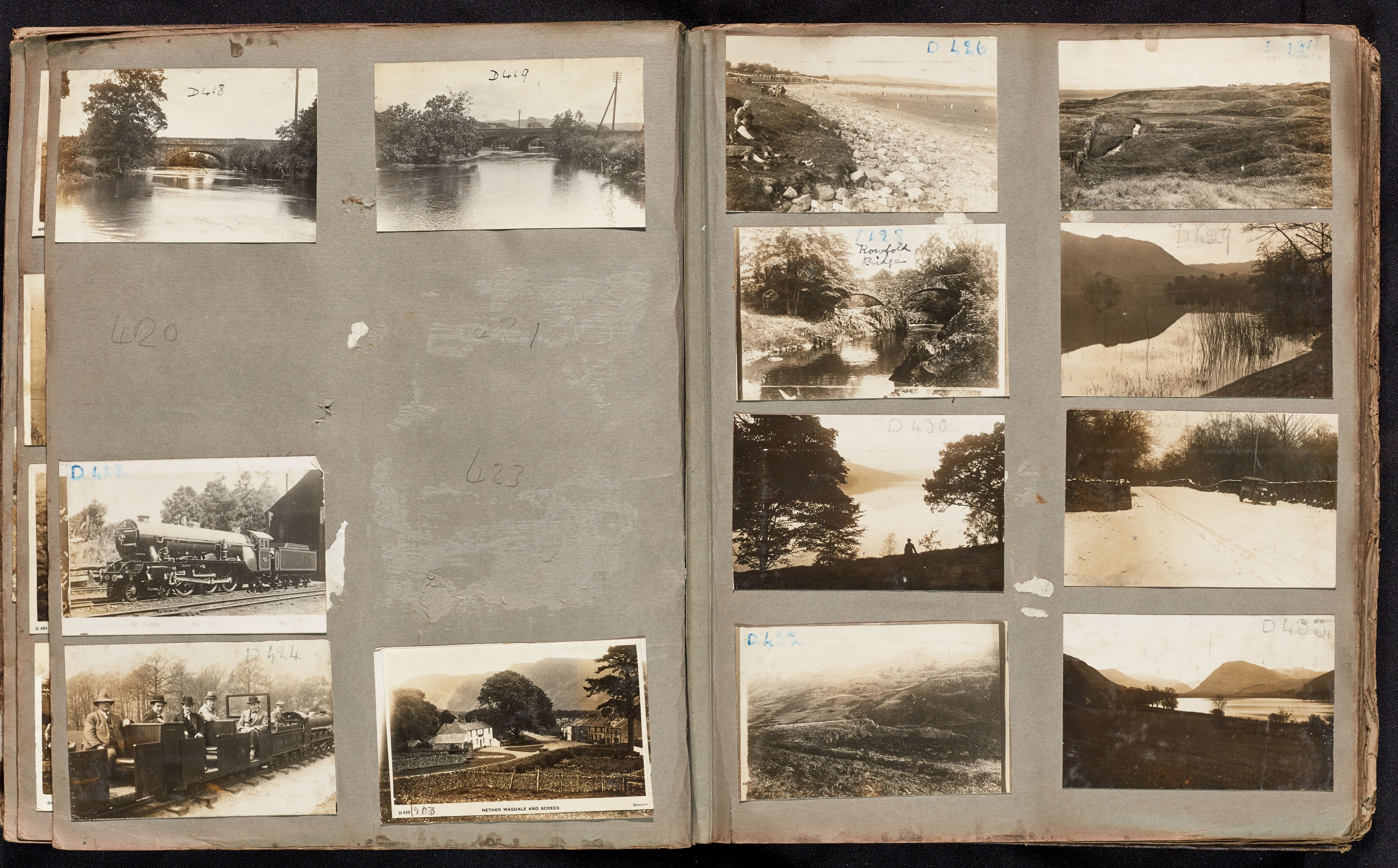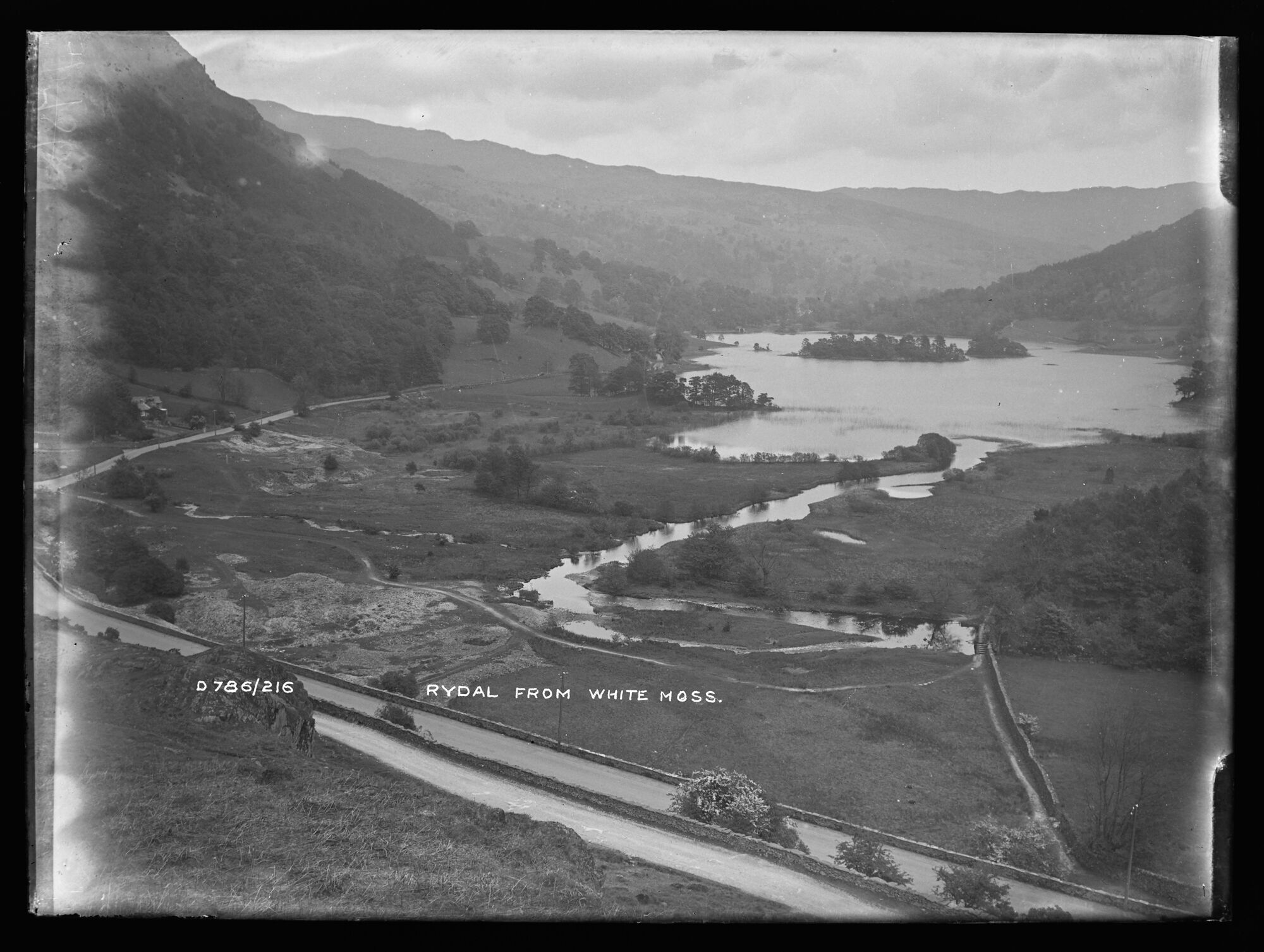
D786, BDB 86/1/3963 Sankey Family Photographic Archive © Cumbria Archives
no.D786
Rydal Water
Early 20th Century
Rydal Water looking east from White Moss Common. In the foreground the River Rothy bends sharply and runs into the west end of the water. The steep slopes of Nab Scar drop down from the north (left). The Ambleside to Grasmere road curves round the head of the water from the left. Above this and directly below the photographer is the minor road to How Top.
| Location: | Minor Road over White Moss Common between Rydal Water and Grasmere | Cumbria Archives Reference: | BDB 86/1/3963 |
|---|---|---|---|
| Sankey Number: | D786 |
Related Items
E692A
E116