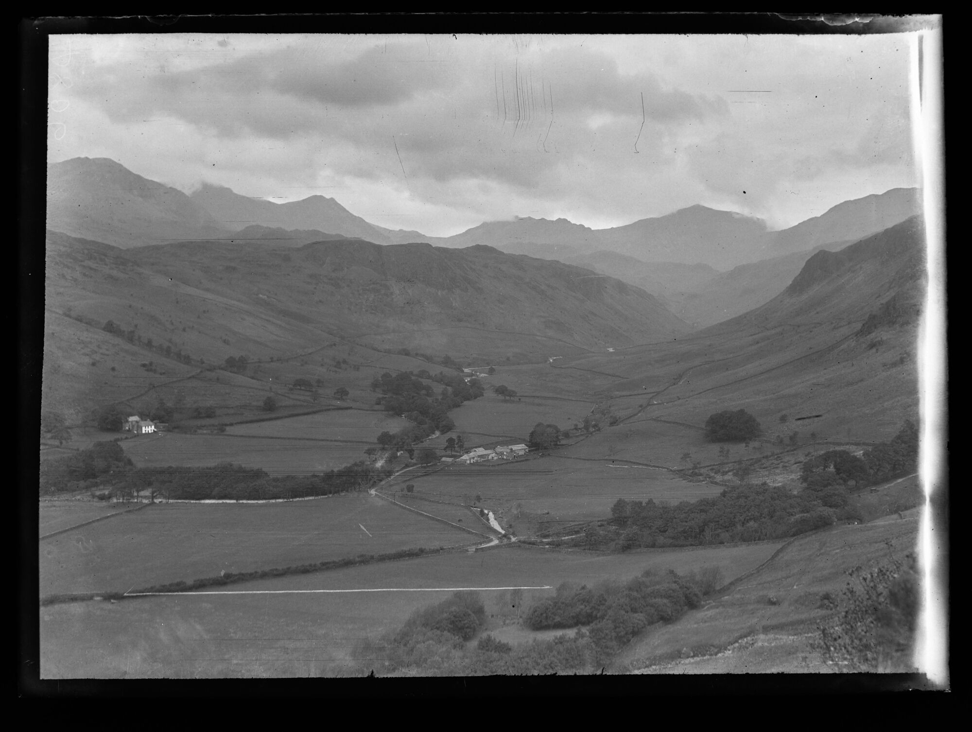
D806, BDB 86/1/3977 Sankey Family Photographic Archive © Cumbria Archives
no.D806
Brotherilkeld and Upper Eskdale
Early 20th Century
The upper Eskdale Valley viewed looking North from above and west Jubilee Bridge. A flat valley flanked by steep fells leads north eastwards into mountains. The base of the valley is divided into irregular shaped fields by stone walls. Brotherilkeld farm stands in the centre of the valley with Taw House to the left. The river Esk flanked by trees runs down the valley and bends to the left.
| Location: | South Side of the Eskdale Valley above Jubilee Bridge. Approximate OS Grid Ref: NY 2137 0095 | Cumbria Archives Reference: | BDB 86/1/3977 |
|---|---|---|---|
| Sankey Number: | D806 |
More Items
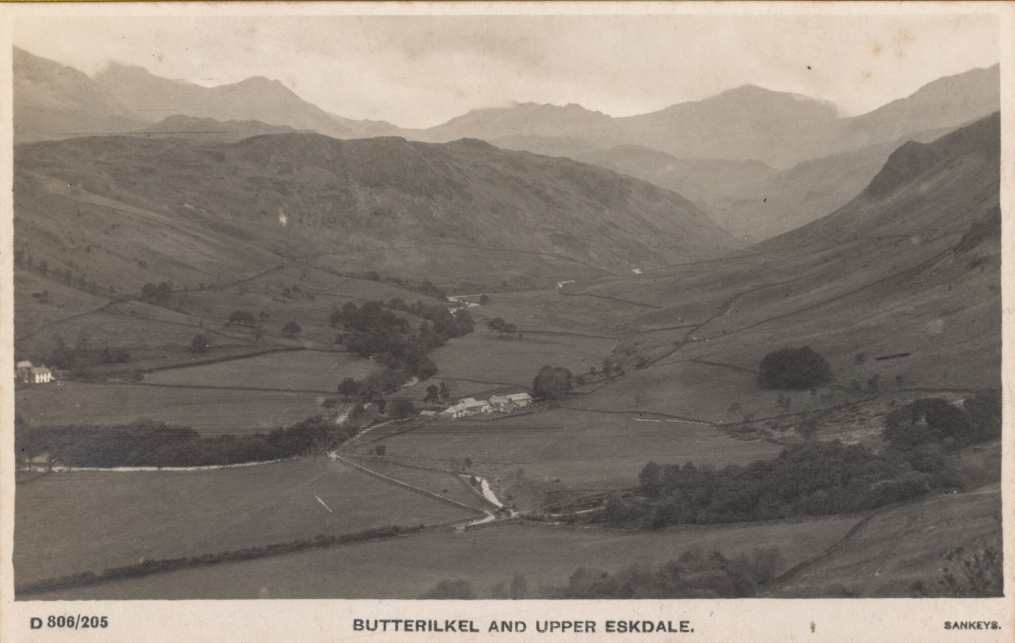
D806 Sankey Family Photographic Archive © Cumbria Archives
no.D806
Butterilkel and Upper Eskdale
| Further Information | |
|---|---|
| Cumbria Archives Reference: | ??? |
| Sankey Number: | D806 |
D806 Sankey Family Photographic Archive © Cumbria Archives
| Sender |
|---|
| Receiver |
|---|
Related Items
E142

9511