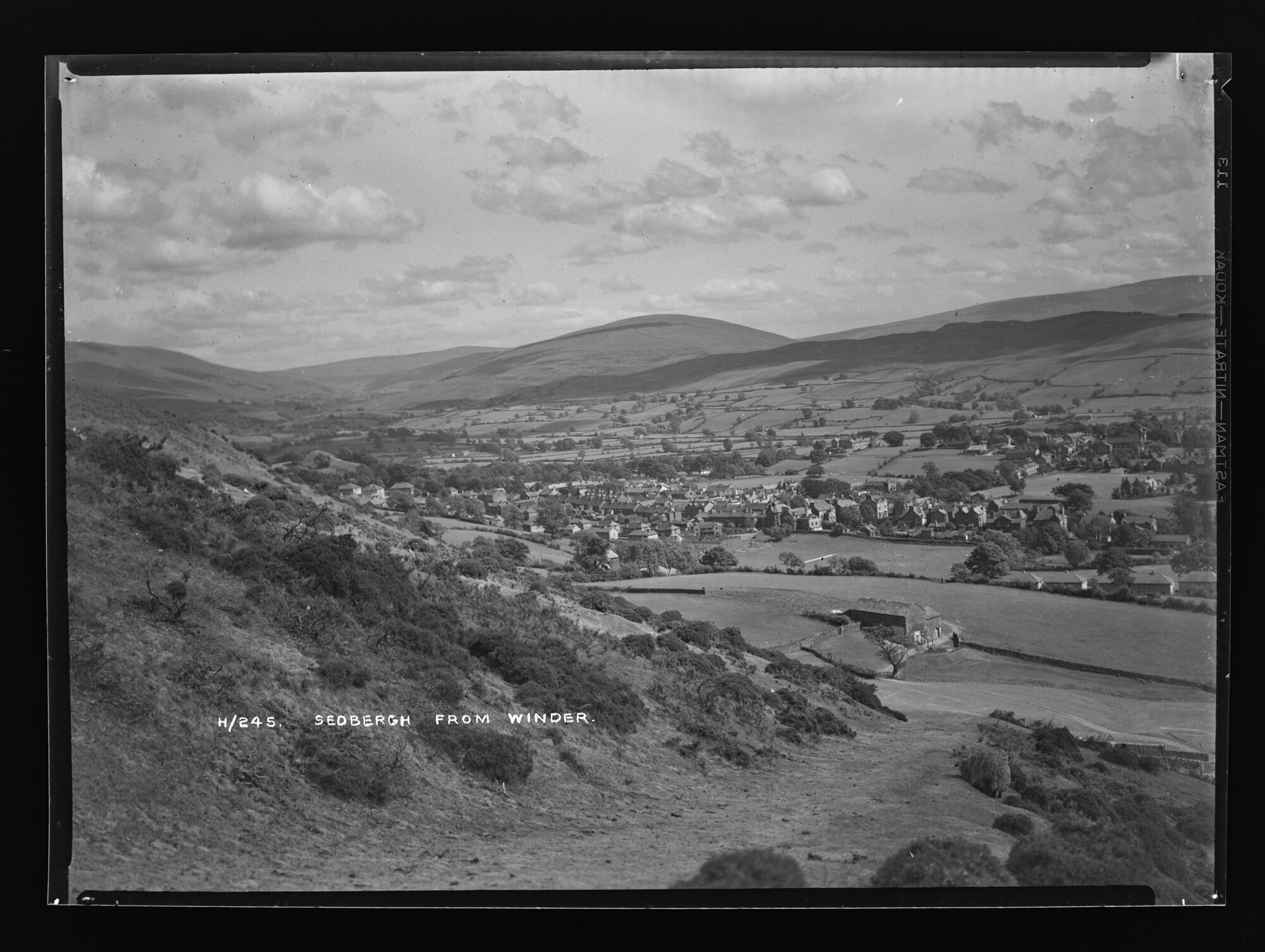
H245A, BDB 86/1/5305 Sankey Family Photographic Archive © Cumbria Archives
no.H245A
Sedbergh From Winder
Mid 1930s
View Southeast across the town to the summit of Baugh Fell taken from the track up to the top of Winder around SD651926. Below is Lockbank Farm and the line of houses along the main road, A684. The school chapel with its narrow steeple in on the right and St Andrew's Church with its square tower is in the centre on the edge of the fields.
| Location: | Sedbergh | Cumbria Archives Reference: | BDB 86/1/5305 |
|---|---|---|---|
| Sankey Number: | H245A |
Related Items
2381
D807