Fort 4, BDB 86/1/8631 Sankey Family Photographic Archive © Cumbria Archives
no.Fort 4
Bootle Fell
1950s
Copy of card on newspaper background showing the view east up the track at Fell Green which leads from Bootle village up to a high point on the Corney Fell Road. The track rises in a series of zigzags through the bracken parallel to Oldclose Gill (Grid reference SD121886). There is mist covering the summit ridge of Buckbarrow. This area is used now for motorbike scrambling. Title but no number handwritten on the card.
| Location: | Bootle, Cumberland | Cumbria Archives Reference: | BDB 86/1/8631 |
|---|---|---|---|
| Sankey Number: | Fort 4 |
Related Items
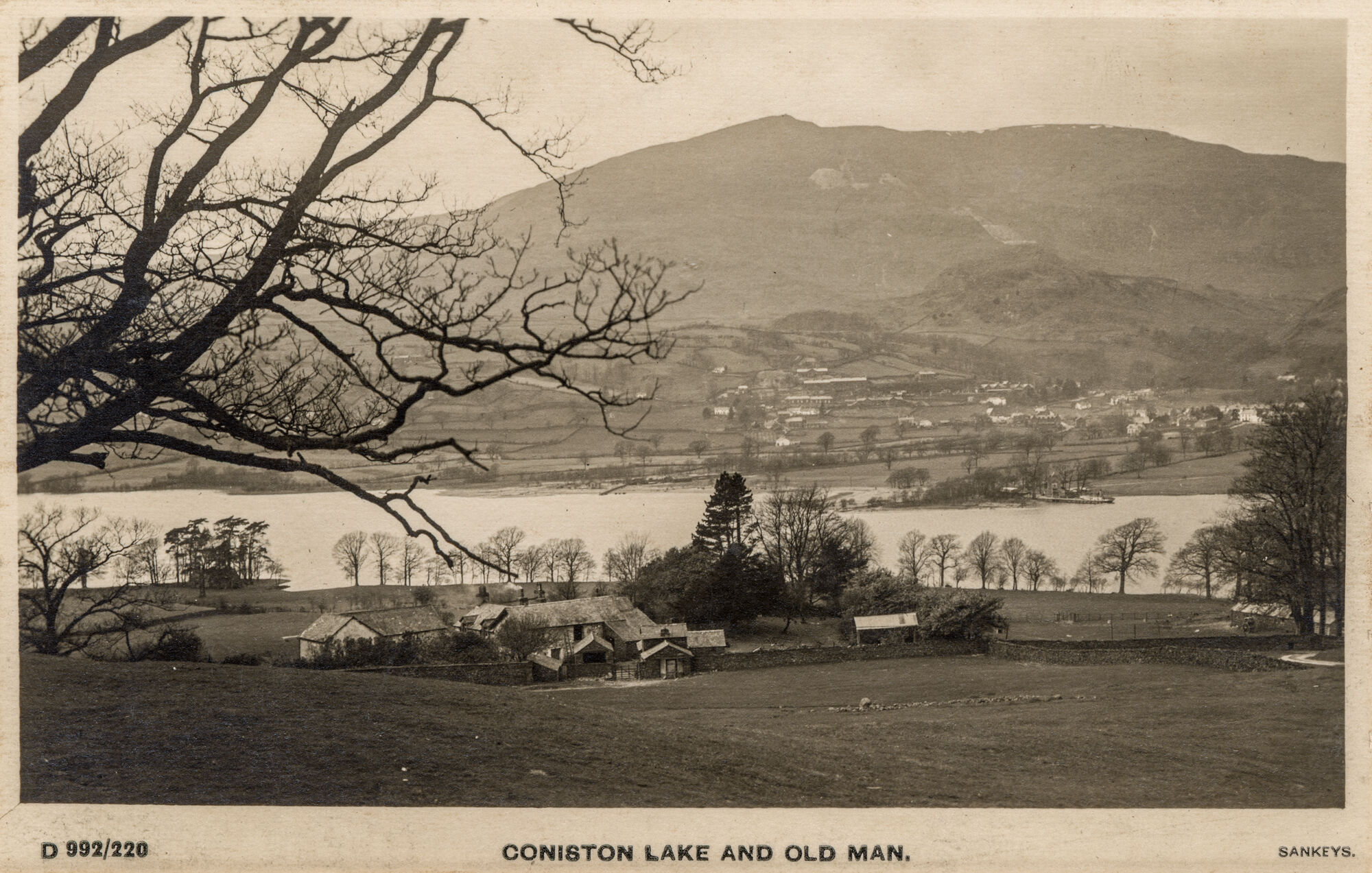
D992
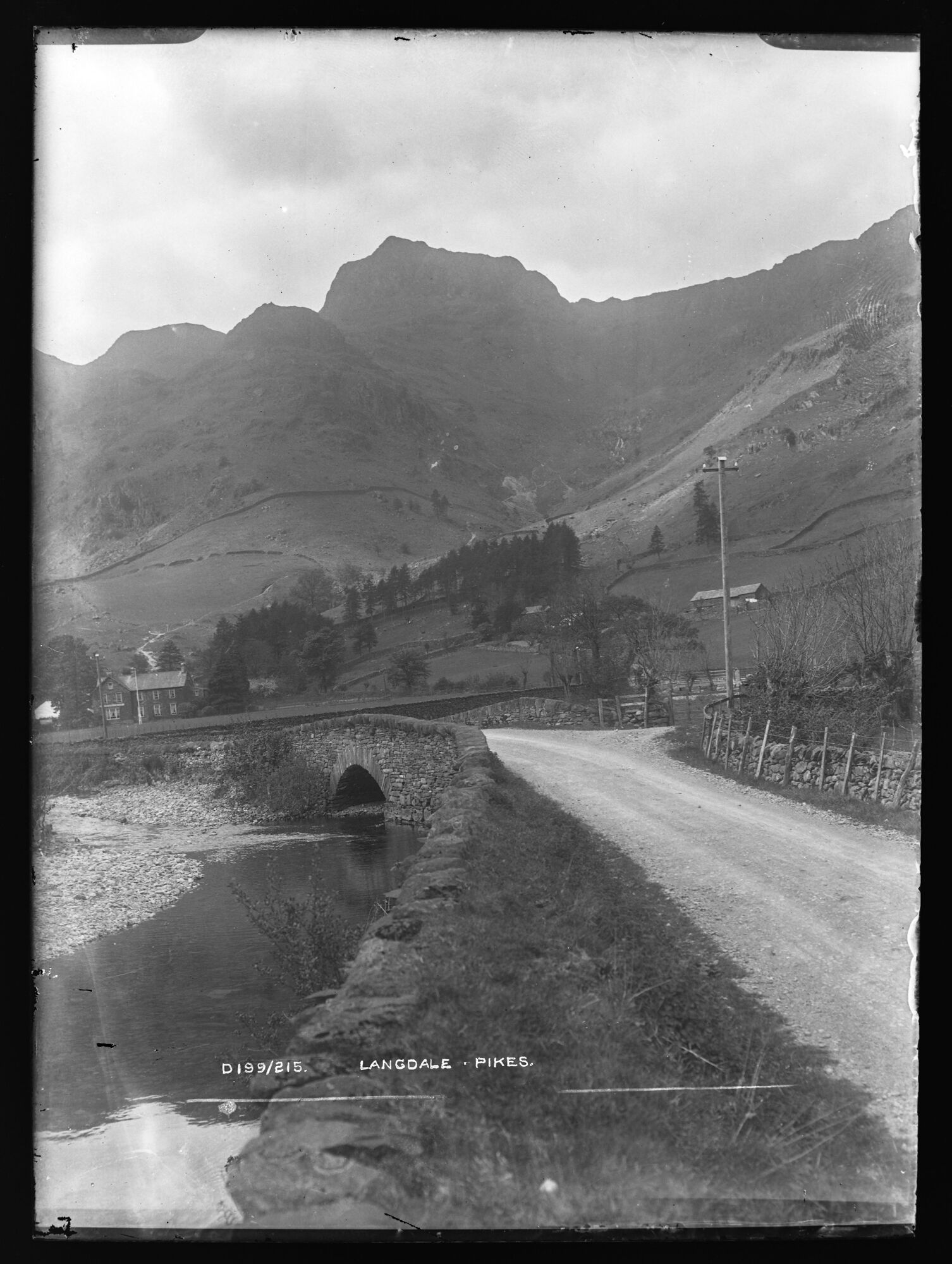
D199