D475, BDB 86/1/8684 Sankey Family Photographic Archive © Cumbria Archives
no.D475
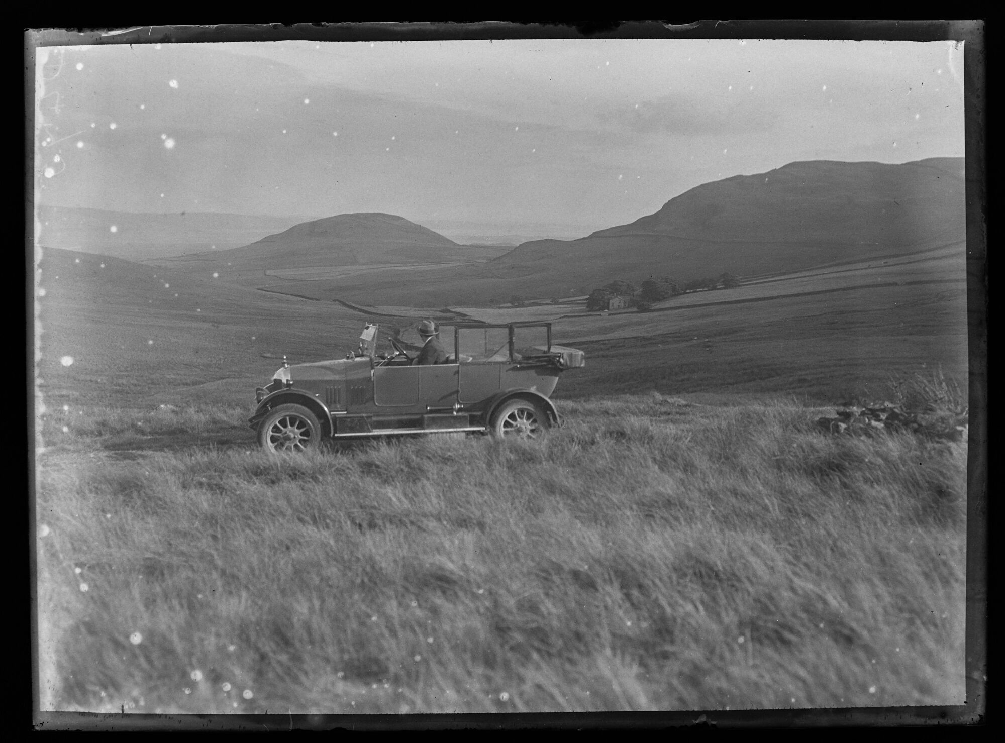
Duddon Estuary from Bootle Fell
1920s
View south from the Corney Fell Road between Muncaster and Duddon Bridges. Sankey’s Morris is parked on the road at SD167898 approx just before the final rise to Mere Crags driving east. Fenwick farm is in the trees. The ridge on the right is Black Crag and Raven Crag leading to Swinside Farm and the stone circle. Knott Hill is central with the Kirkby Fells beyond the estuary.
| Location: | Corney Fell Road | Cumbria Archives Reference: | BDB 86/1/8684 |
|---|---|---|---|
| Sankey Number: | D475 |
More Items
Album D 1-689 Sankey Family Photographic Archive © Cumbria Archives
Album Number: Album D 1-689
Page Number: 28
All Images on This Page
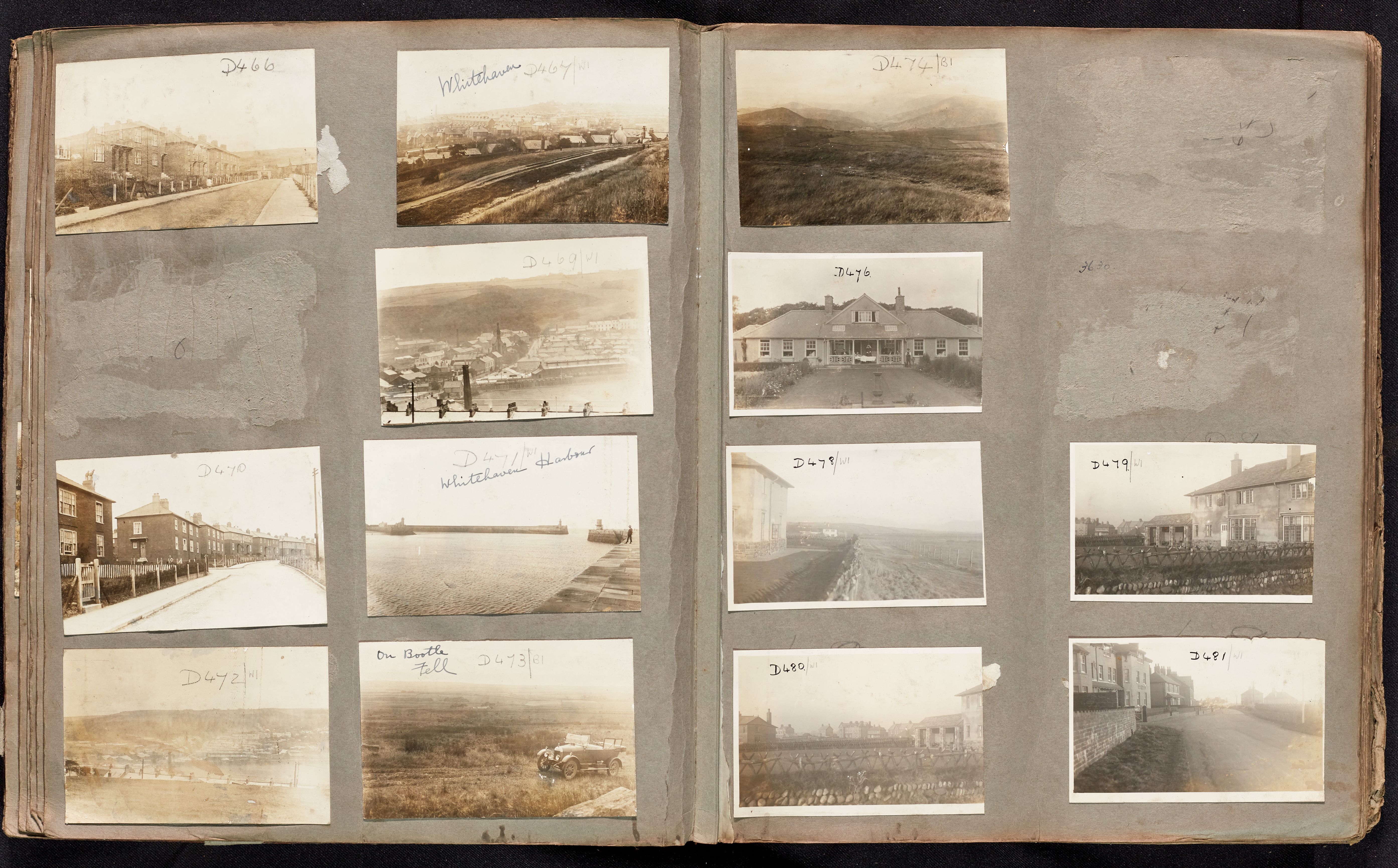
| Sankey Number | Image Title | Location Image Taken | Description |
|---|---|---|---|
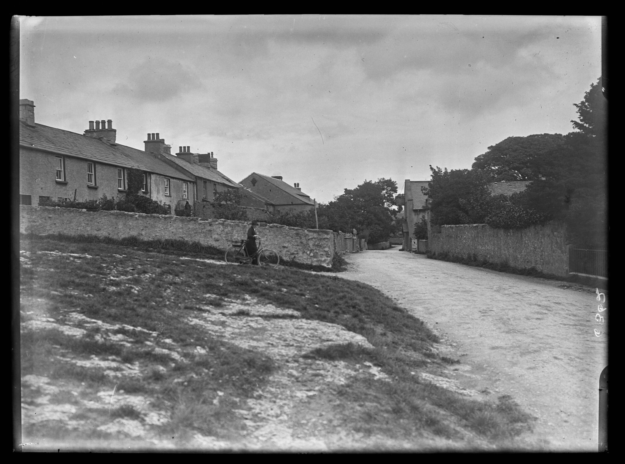
| D466 | Whitehaven | Row of houses | |
| D467 | No name | View over path to houses | |
| D468 | North Pier Lighthouse | ||
| D469 | View over Whitehaven | View over chimneys to town. Distinctive church in centre. | |
| D470 | No name | Row of houses | |
| D471 | Whitehaven Harbour | Harbour piers with tower and lighthouse. Man stood on right hand pier. | |
| D472 | No name | View over chimneys to town | |
| D473 | No name | Car foreground fields behind | |
| D474 | No name | Fields foreground hills behind | |
| D475 | Duddon estuary from Bootle Fell | ||
| D476 | No name | Building with people and man in a bed. Lady in uniform behind. | |
| D477 | The Harbour | ||
| D478 | No name | Buildings to left wide path and fence to right | |
| D479 | No name | Substantial stone, turf and wood fence in foreground. Large house on right. Distant buildings and wooden fences. | |
| D480 | Drigg Road, Seascale | Substantial stone, turf and wood fence in foreground. Large house on right. Distant buildings and wooden fences. | |
| D481 | Drigg Road, Seascale | Row of houses on bend with cars |
