9602 Sankey Family Photographic Archive © Cumbria Archives
no.9602
Ullswater
| Further Information | |
|---|---|
| Cumbria Archives Reference: | ??? |
| Sankey Number: | 9602 |
9602 Sankey Family Photographic Archive © Cumbria Archives
| Sender |
|---|
| Receiver |
|---|
More Items
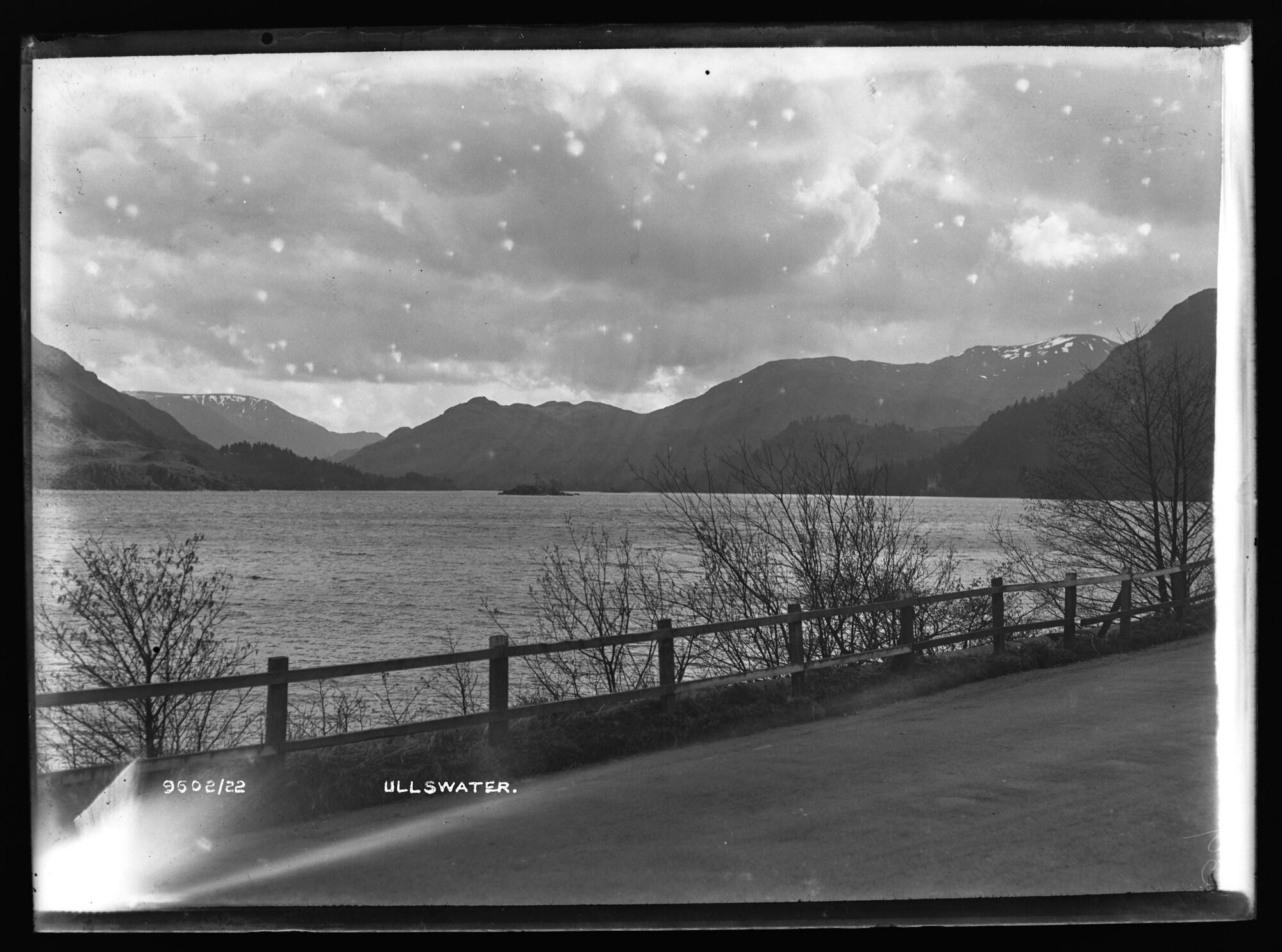
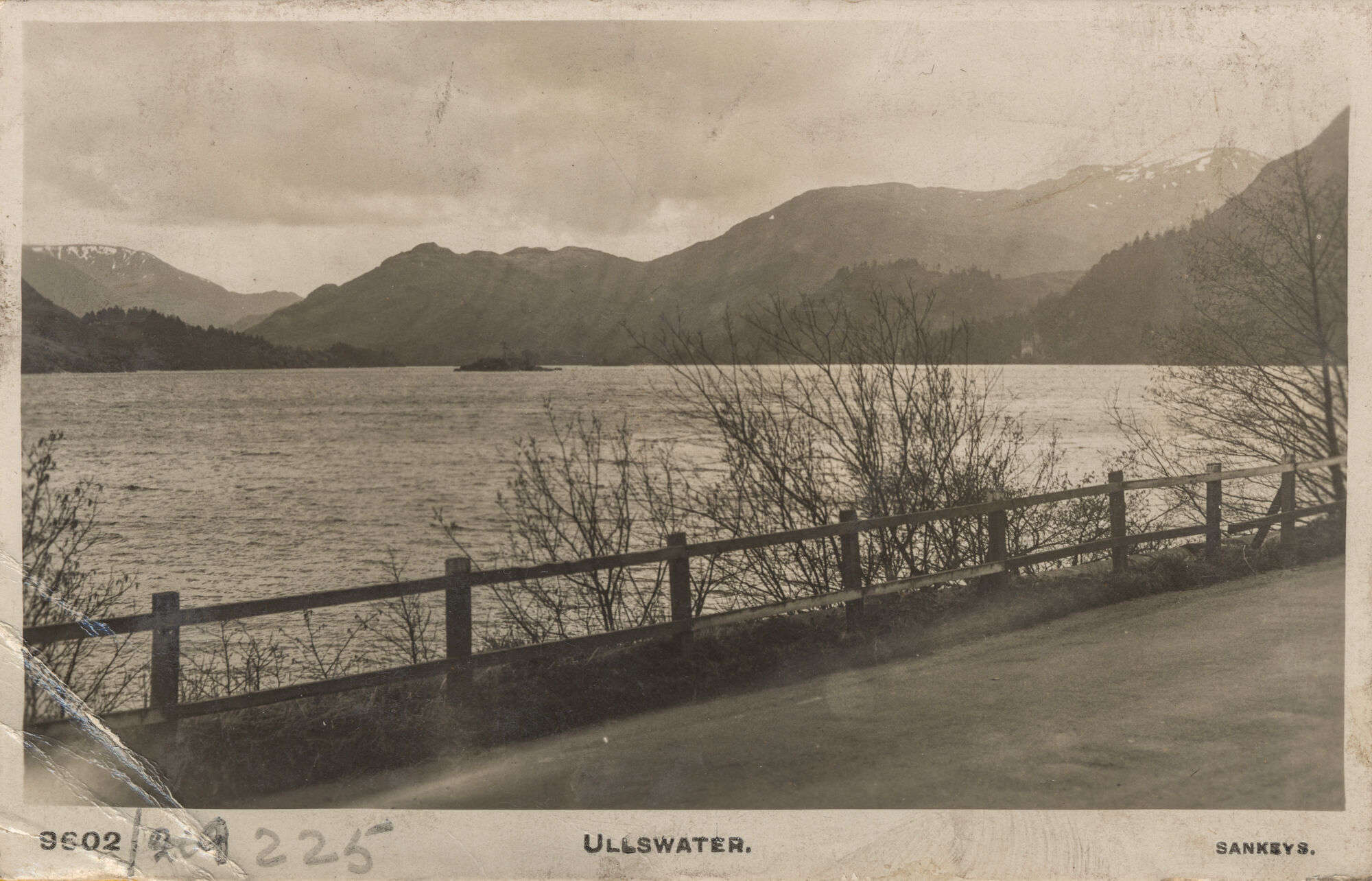
9602, BDB 86/1/2792 Sankey Family Photographic Archive © Cumbria Archives
no.9602
Ullswater
Early C20th
Looking south from around OS Grid Ref: NY 3914 1929. Silver Crag reaches down to the water's edge on the left; Caudale Moor is snow flecked in the distance, above Purse Point, then Arnison Crag and Birks reach round to St Sunday Crag, again snow-tipped, with Glenridding Dodd sloping down to the water on the right.
| Location: | Ullswater | Cumbria Archives Reference: | BDB 86/1/2792 |
|---|---|---|---|
| Sankey Number: | 9602 |
Related Items

5419
2417