D790 Sankey Family Photographic Archive © Cumbria Archives
no.D790
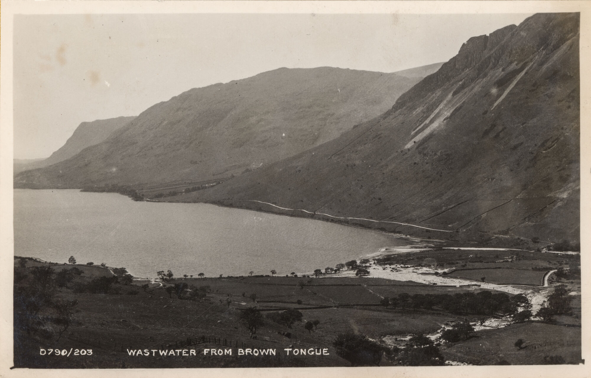
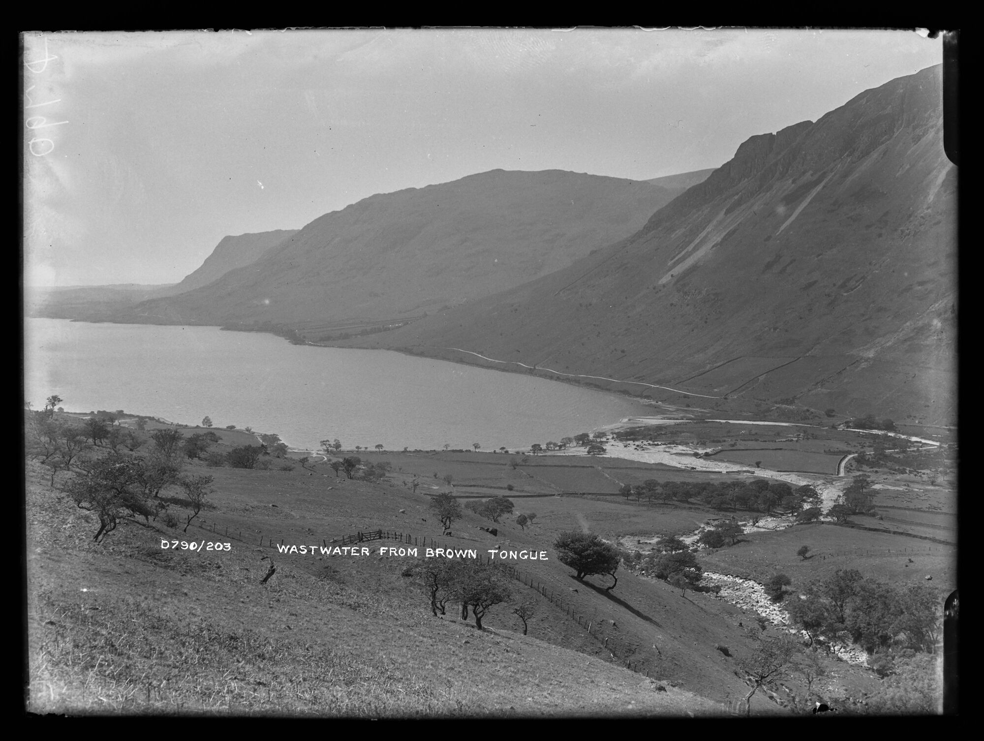
Wastwater from Brown Tongue
| Further Information | |
|---|---|
| Cumbria Archives Reference: | ??? |
| Sankey Number: | D790 |
D790 Sankey Family Photographic Archive © Cumbria Archives
| Sender |
|---|
| Receiver |
|---|
More Items
D790, BDB 86/1/3967 Sankey Family Photographic Archive © Cumbria Archives
no.D790
Wastwater From Brown Tongue
Early 20th Century
Looking West down the flank of Brown Tongue, a small ridge which splits Lingmell Gill. The grassy slopes of the Tongue descend to the valley bottom and head of Wastwater. Small trees scattered across the fells and valley bottom. Opposite are the fells of Buck Barrow, Middle Fell and Yewbarrow with the gap of Great Door clearly visible. The Wasdale Head road runs along the base of Yewbarrow.
| Location: | Brown Tongue, a small subsidiary ridge in Lingmell Gill. Approx OS Grid Ref: NY 1969 0743. | Cumbria Archives Reference: | BDB 86/1/3967 |
|---|---|---|---|
| Sankey Number: | D790 |
Related Items
9487

E909A